Skip to content
Getaway List

Bikepacking in Pamir Highway

Pamir Highway·Tajikistan

Bikepacking in Pamir Highway

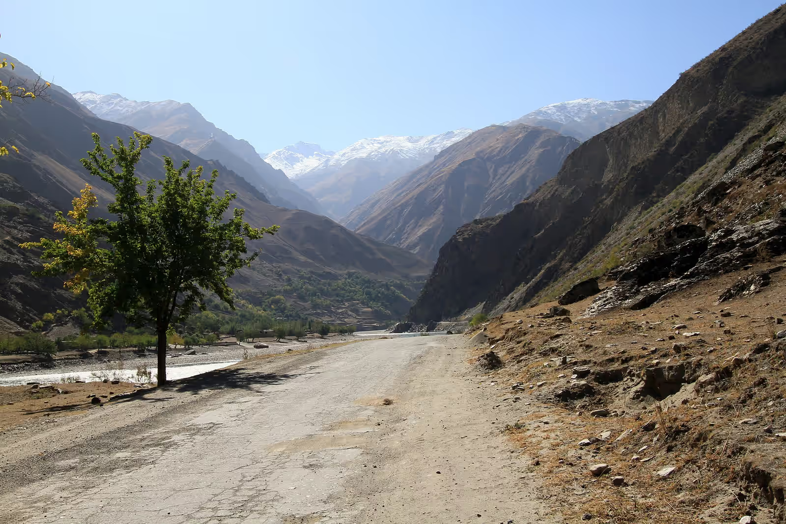
Photo: lee hughes · Wikimedia · CC BY 2.0

Epic14 days on the groundPermit required

Why go

The M41 is the second-highest road on earth, and for days at a time it runs across a treeless plateau at around four thousand metres where the horizon sits a hundred kilometres away and the next village is sixty. This is the Pamir Highway, a Soviet-built supply road through Tajikistan's Gorno-Badakhshan, and riding it is as much about altitude and self-reliance as fitness.

The scenery is severe and enormous. For much of the Wakhan Corridor the road traces the Panj river with Afghanistan on the far bank and the Hindu Kush rising behind it — a border you could nearly throw a stone across. Headwinds, thin air, rough surface and long resupply gaps make every day a calculation rather than a ride.

It is logistically demanding and politically sensitive: you need a GBAO permit, and both the permit rules and the regional security picture have been volatile. Check current government advice before you commit — then go, because nowhere else on a bike feels like this.

When

In season: Jun–Sep

Who it’s for

Skill
Advanced–Expert
Effort
Demanding
Suitable from
Not specified
Crowds
Empty
Cost
$$$

Bikepacking specifics

Distance
1200 km
Max altitude
4655 m
Surface
mixed tarmac and rough
Self-supported
Yes

How to start

A GBAO permit is required for Gorno-Badakhshan, and both the permit regime and the regional security picture have been volatile. Verify current government travel advice before planning.

Bikepacking elsewhere

New adventures, now and then

A short note when a batch of places worth the trip goes up. No spam, no operators, unsubscribe anytime.