Skip to content
Getaway

Trekking in Gates of the Arctic

Alaska·United States

Trekking in Gates of the Arctic

Photo: National Park Service, Alaska Region · Wikimedia Commons (CC BY 2.0)

Epic~10 days

Why go

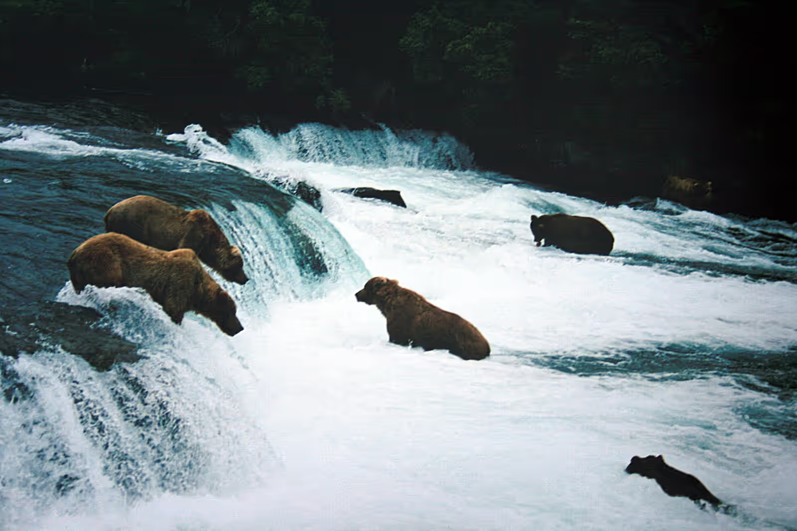
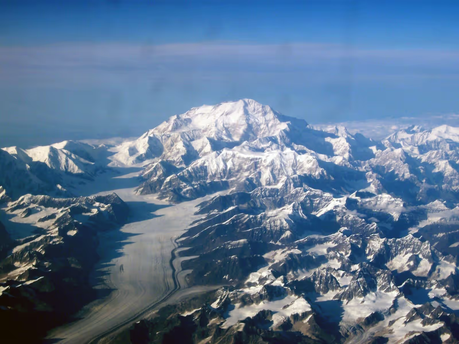
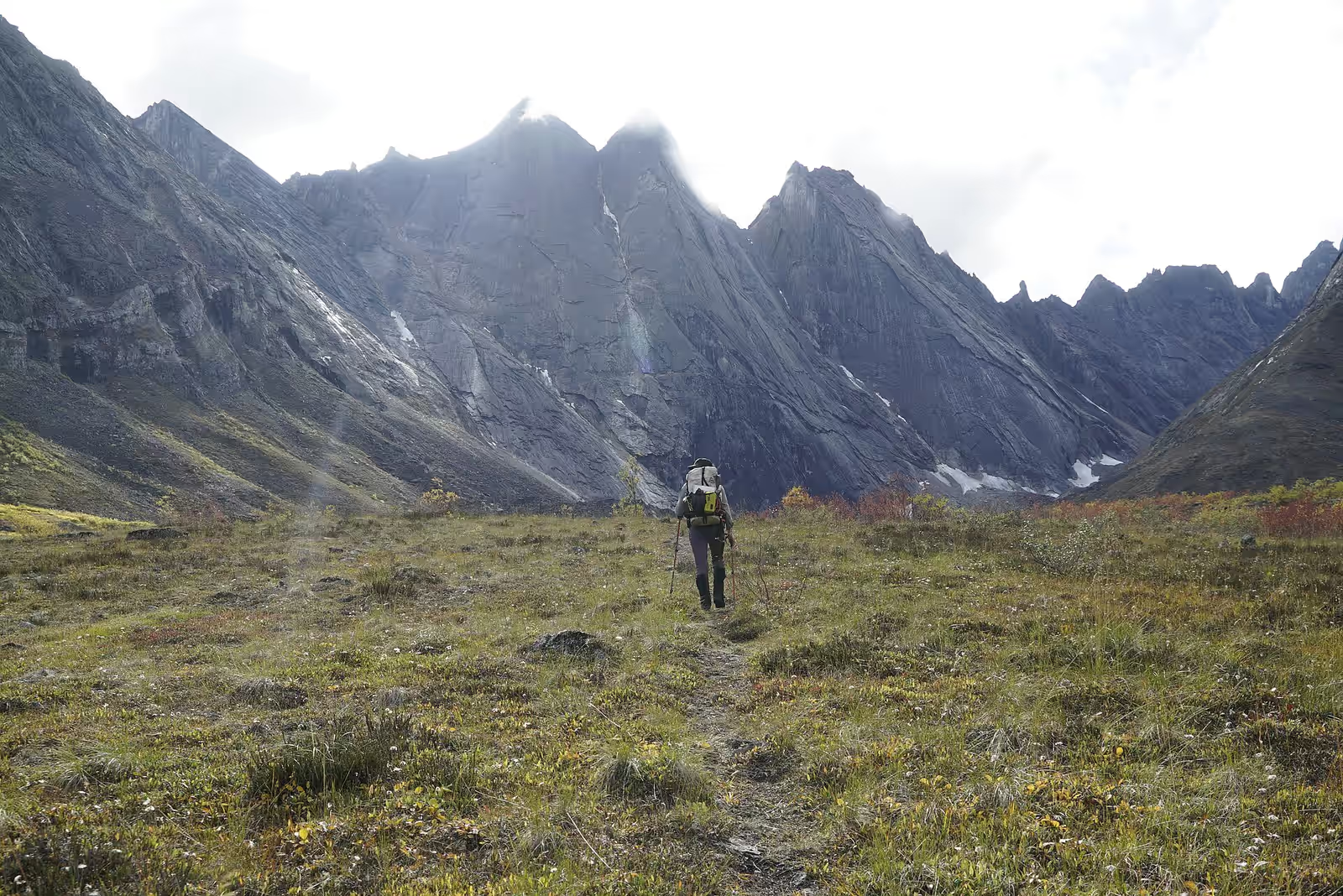
Gates of the Arctic has no roads, no trails and no facilities, just the granite spires of the Arrigetch, braided rivers and tundra valleys crossing the continental divide north of the Arctic Circle. Caribou, grizzlies and wolves roam country that sees only a few thousand visitors a year.

When

In season: Jun–Aug · Peak: Jul–Aug

Who it’s for

Skill
Advanced–Expert
Effort
Serious
Suitable from
16+ · Teen+
Crowds
Empty
Cost
$$$$$

Trekking specifics

Distance
100 km
Total ascent
3000 m
Max altitude
1500 m
Accommodation
Wild camping only
Technical
Trackless tundra, river fords, map-and-compass navigation

What to expect

Hard, slow walking across tussock tundra, river crossings, bogs and boulder fields, with navigation entirely by map and compass. Weather can ground planes for days, so carry extra food, and expect mosquitoes in July.

Routes

What the difficulty bands mean
hard
Long, technical or serious — experience and the right conditions required.
  1. Arrigetch Peaks

    hard

    Granite spires in the central Brooks Range, bush plane in

  2. Noatak headwaters float and walk

    hard

    River and tundra across the continental divide

  3. Alatna to Noatak crossing

    hard

    The classic trans-range traverse, no trails at all

How to start

Fly from Fairbanks to Bettles or Coldfoot, then charter a floatplane to a lake in the range. Attend the voluntary backcountry orientation, carry bear-resistant food containers, and choose a guided trip unless you already have serious Arctic wilderness experience.

What else is in Alaska

Trekking elsewhere

New adventures, now and then

A short note when a batch of places worth the trip goes up. No spam, no operators, unsubscribe anytime.