Skip to content
Getaway

Trekking in Northern Japan Alps

Chubu·Japan

Trekking in Northern Japan Alps

Photo: lumoplank · Wikimedia · CC0

Epic3 days – 7 days

Why go

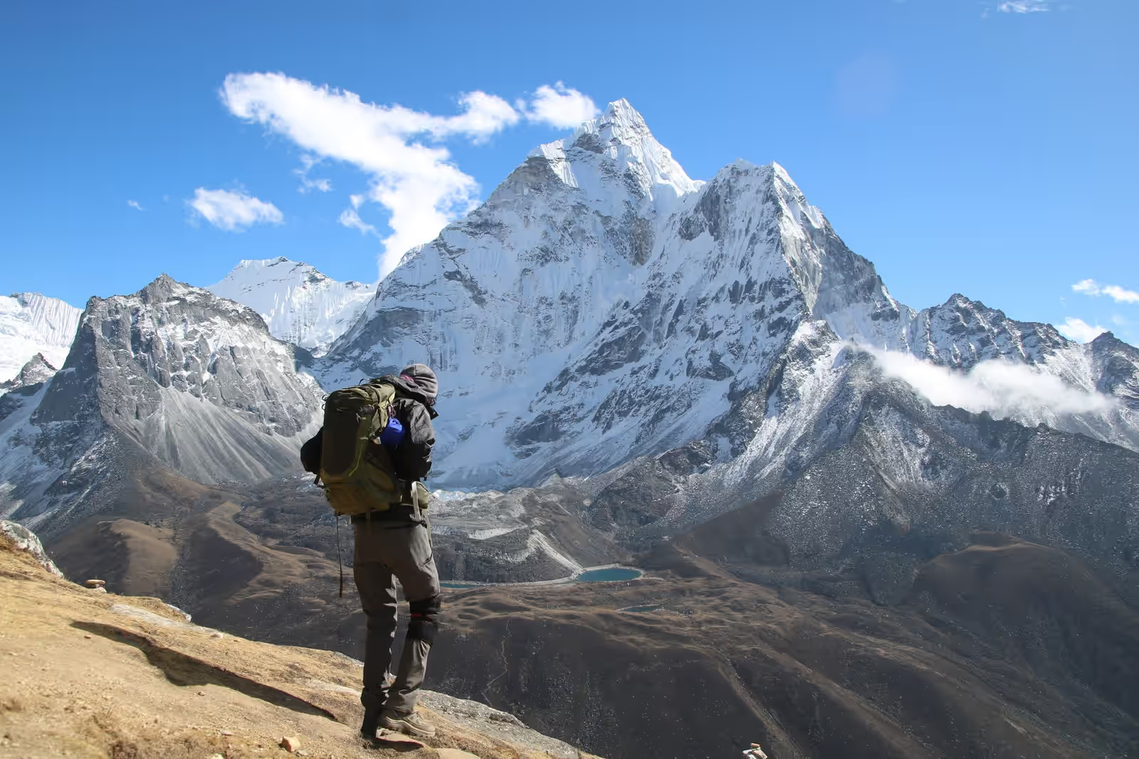
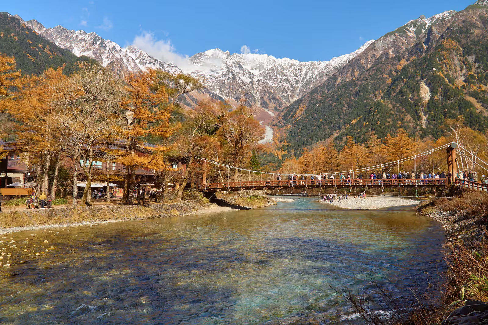
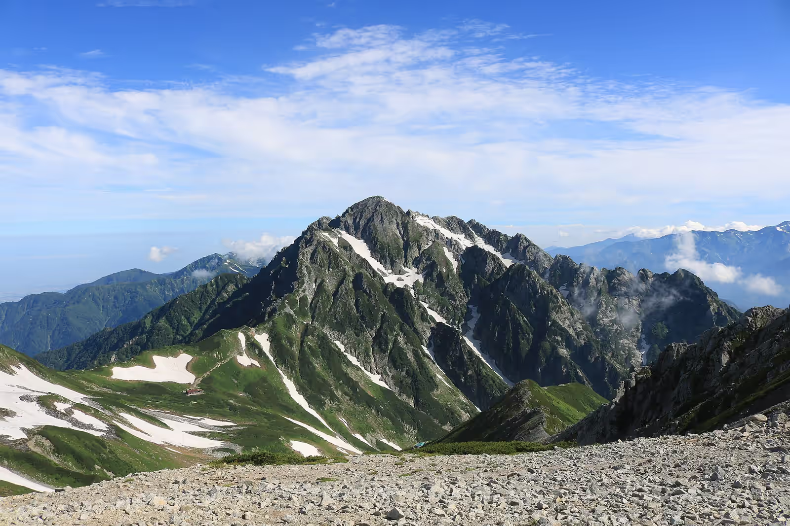
The Northern Japan Alps hold the country's greatest high-mountain walking, and the classic traverse runs their spine — roughly a week on the ridge from Kamikōchi, linking Yari, the Hotaka peaks and, for the committed, Tsurugi, mostly around 3,000 metres. It is relentless in a straightforward way: climb to a col, drop to a hut, and repeat, day after day.

The revelation for most visitors is the huts. These are not the spartan bothies of other ranges but staffed mountain lodges that serve hot meals, lay out futons and sometimes pour a cold beer, at places you can only reach on foot. Walking hard all day and arriving at one is the rhythm of the entire trip.

The season is short — roughly July to early October, while the huts are open — and reservations became far stricter after 2020. Typhoon season overlaps the best walking weather, so build in slack days and keep a close eye on the forecast.
When

In season: Jul–Sep

Who it’s for

Skill
Intermediate–Advanced
Effort
Demanding
Suitable from
Not specified
Crowds
Steady
Cost
$$$

Trekking specifics

Distance
60 km
Accommodation
mountain huts with meals
Daily hours
8
Training focus
consecutive long days with a pack
Ridge altitude
3,000 m

What to expect

The country's greatest high-mountain walking, on a classic traverse along the spine of the Northern Japan Alps — roughly a week on the ridge from Kamikōchi, linking Yari, the Hotaka peaks and, for the committed, Tsurugi, mostly around 3,000 metres.

It is relentless in a straightforward way: climb to a col, drop to a hut, repeat, day after day. The revelation is the huts — not spartan bothies but staffed mountain lodges serving hot meals, laying out futons and sometimes pouring a cold beer, at places reachable only on foot.

Walking hard all day and arriving at one is the rhythm of the whole trip.

Routes

What the difficulty bands mean
moderate
Sustained effort or some exposure; comfort on the terrain expected.
hard
Long, technical or serious — experience and the right conditions required.
  1. Kamikochi to Yari

    moderate

    Straight up the valley to the Matterhorn of Japan and back

    38 km1,900 m ascent3 days
  2. Kamikochi to Tsurugi traverse

    hard

    Seven days on the high ridge, hut to hut the whole way

    70 km6,000 m ascent7 days
  3. Yari to Hotaka ridge

    hard

    The famous knife-edge link, chains and ladders throughout

    30 km3,000 m ascent4 days
  4. Tateyama to Tsurugi

    hard

    Cable car to altitude, then the hardest summit in the range

    20 km1,800 m ascent3 days
  5. Ura-Ginza

    hard

    The back way in, longer approach and far fewer people

    45 km3,500 m ascent5 days

How to start

The huts open roughly July to early October and take reservations, which became far stricter after 2020, so book ahead rather than turning up. Reach the range via Kamikōchi, the usual gateway.

This is intermediate-to-advanced ridge walking with long days and some exposed sections, so come fit and steady on your feet. Typhoon season overlaps the best walking weather, so build in slack days and watch the forecast closely — a storm on a 3,000-metre ridge is no place to be.

Half-board at the huts keeps your pack light. Carry warm and waterproof layers for the exposed tops.

What else is in Chubu

Trekking elsewhere

Good to know

Who it's for
Adults. No stated minimum, but this one assumes independence. Skill: intermediate to advanced.
How long
7 days on the ground, excluding travel.
Permits and guides
No permit and no guide required. Turn up and go.
When to go
Best months: Jul, Aug, Sep.

New adventures, now and then

A short note when a batch of places worth the trip goes up. No spam, no operators, unsubscribe anytime.