Skip to content
Getaway

Trekking in the Wonderland Trail

Washington·United States

Trekking in the Wonderland Trail

Photo: brewbooks from near Seattle, USA · Wikimedia Commons (CC BY-SA 2.0)

Epic~10 daysPermit required

Why go

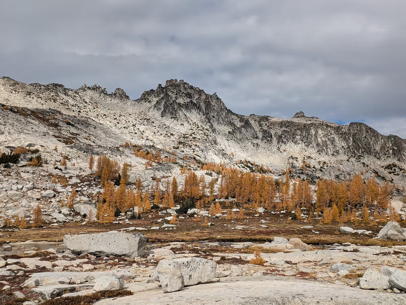
The Wonderland Trail circles the most glaciated peak in the lower 48 states, climbing and dropping over ridge after ridge between river valleys fed by the ice. Every day brings a new face of the volcano, from the Spray Park meadows to the suspension bridges over glacial torrents.

When

In season: Jul–Sep · Peak: Aug

Who it’s for

Skill
Intermediate–Advanced
Effort
Serious
Suitable from
14+ · Teen+
Crowds
Steady
Cost
$$

Trekking specifics

Distance
150 km
Total ascent
7000 m
Max altitude
2070 m
Pass altitude
2070 m
Accommodation
Designated backcountry camps
Technical
Waymarked trail, river crossings on bridges, late snow

What to expect

Around 150 km with about 7,000 m of total climbing, camping at designated backcountry camps. Snow can linger on the high sections until July, and the weather changes fast on the mountain.

Routes

What the difficulty bands mean
moderate
Sustained effort or some exposure; comfort on the terrain expected.
hard
Long, technical or serious — experience and the right conditions required.
  1. Spray Park variant

    moderate

    The alternate high route through the wildflower basins

  2. Full circuit

    hard

    Ninety-three miles all the way round Mount Rainier

  3. Southern half, Longmire to White River

    hard

    The most scenic section, permit-limited

How to start

Apply in the spring permit lottery for a full-circuit itinerary, or walk sections on shorter permits. Cache food at Longmire, Sunrise or Mowich Lake, start in August for the best snow-free conditions, and take the Spray Park variant on a clear day.

What else is in Washington

Trekking elsewhere

New adventures, now and then

A short note when a batch of places worth the trip goes up. No spam, no operators, unsubscribe anytime.